| Home | Newsletter | Locations | Diary |
| Indexes |
|
| Travellers Resource |
|
|
|
|
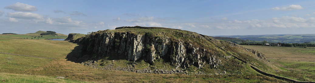
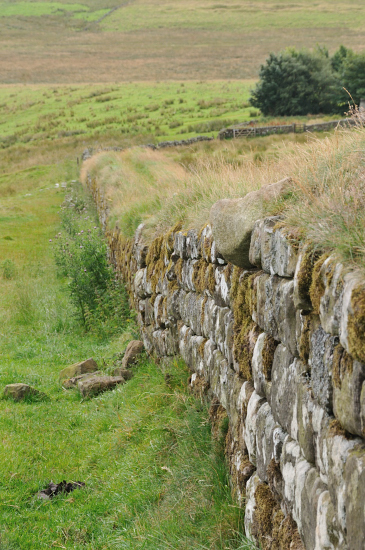
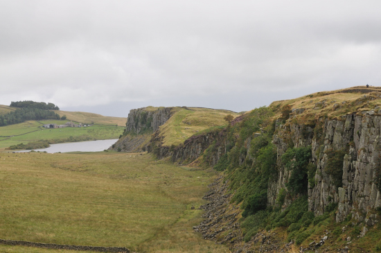
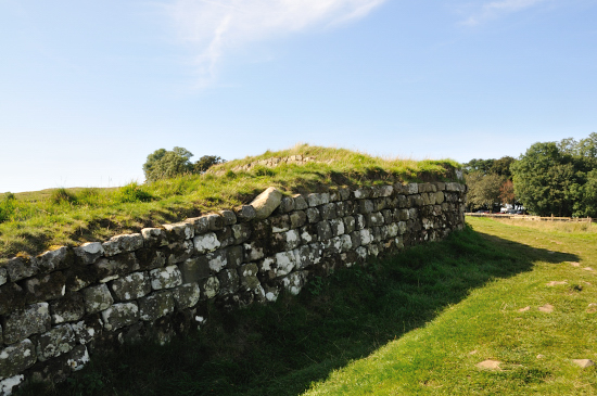
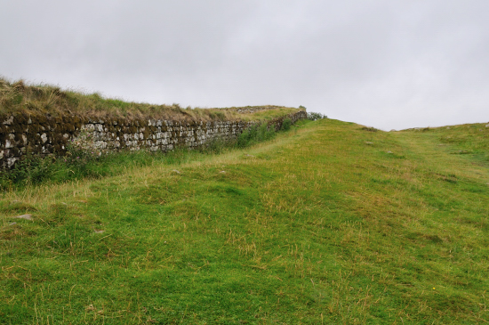
One of the best photo points on the wall, easily accessible from Steel Rigg car park. The landscape here is very similar to several other areas nearby including
Cawfields
Roman Wall and Milecastle 42
You therefore need a panorama shot to get a wide enough view.
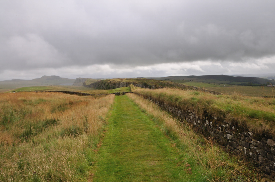
A panorama photograph made from 7 photographs,
click on this image to see a larger version. Or
click here
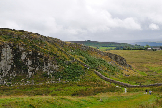
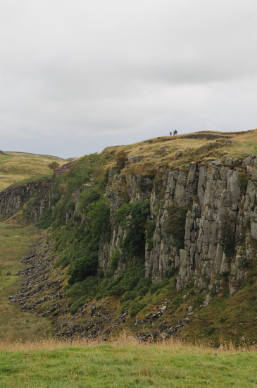
But to give you an idea of scale if we look at another photo of just the slope up and you look very carefully you will see some small coloured marks part way up the hillside.
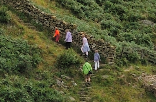
And blow up this section we see:-
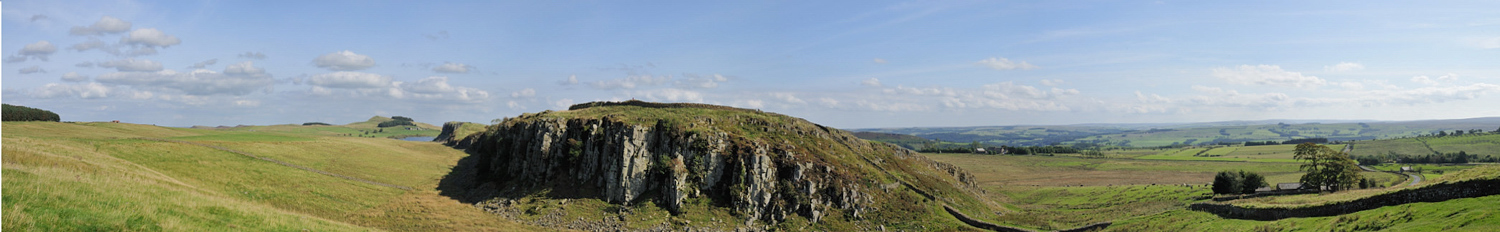
From this you can see that on a video monitor its near impossible to show the detail of what you can see from this viewpoint. You need your magic eyeballs on site to appreciate this. The image at the top of this page is a panorama made from 3 photos and then the edges removed to concentrate on just over half of the image. Here are a few more of the many views available-
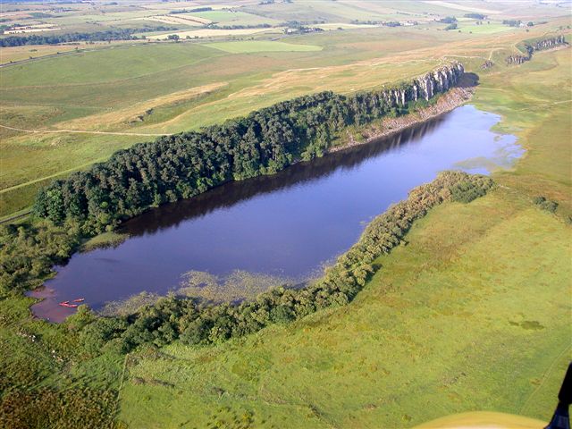
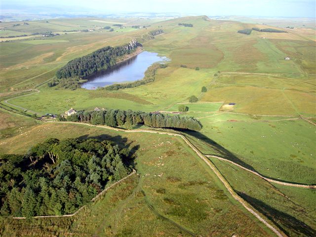
The lake that can be seen in a number of these photos is Crag Lough, the aerial images below are approaching this lake from the east, or north east and looking west back towards where the pictures above are taken.
Aerial photos by Simon Ledingham
used with permission. Previously on
www.visitcumbria.com
Please let us know any other information that we can add to the Grid(s) or page and any errors that you discover. Before making a long trip to any location it is always wise to double check the current information, websites like magazines may be correct at the time the information is written, but things change and it is of course impossible to double check all entries on a regular basis. If you have any good photographs that you feel would improve the illustration of this page then please let us have copies. In referring to this page it is helpful if you quote both the Page Ref and Topic or Section references from the Grid below. To print the planning grid select it then right click and print the selected area. Please submit information on locations you discover so that this system continues to grow.
|
||||||||||||||||||||||||||||||||||||||||
. |
||||||||||||||||||||||||||||||||||||||||
|
||||||||||||||||||||||||||||||||||||||||
|
|
||||||||||||||||||||||||||||||||||||||||